Mongolia's Geography
Mongolia's geography is remarkably varied, with the Gobi Desert stretching across the south and cold, mountainous regions dominating the north and west. The terrain comprises mountains and plateaus with significant elevation changes.
Mongolia's geography is remarkably varied, with the Gobi Desert stretching across the south and cold, mountainous regions dominating the north and west. The terrain comprises mountains and plateaus with significant elevation changes. Generally, the landscape descends from the towering Altai Mountains in the west and north toward the plains and depressions of the east and south.
The Khuiten Peak (sometimes called Nairamdal, meaning friendship in Mongolian) reaches an elevation of 4,373 meters and sits at the country's far western tip, where the Mongolian, Chinese, and Russian borders converge.
The lowest point stands at 560 meters above sea level in the eastern Mongolian plain. The country maintains an average elevation of 1,580 meters.
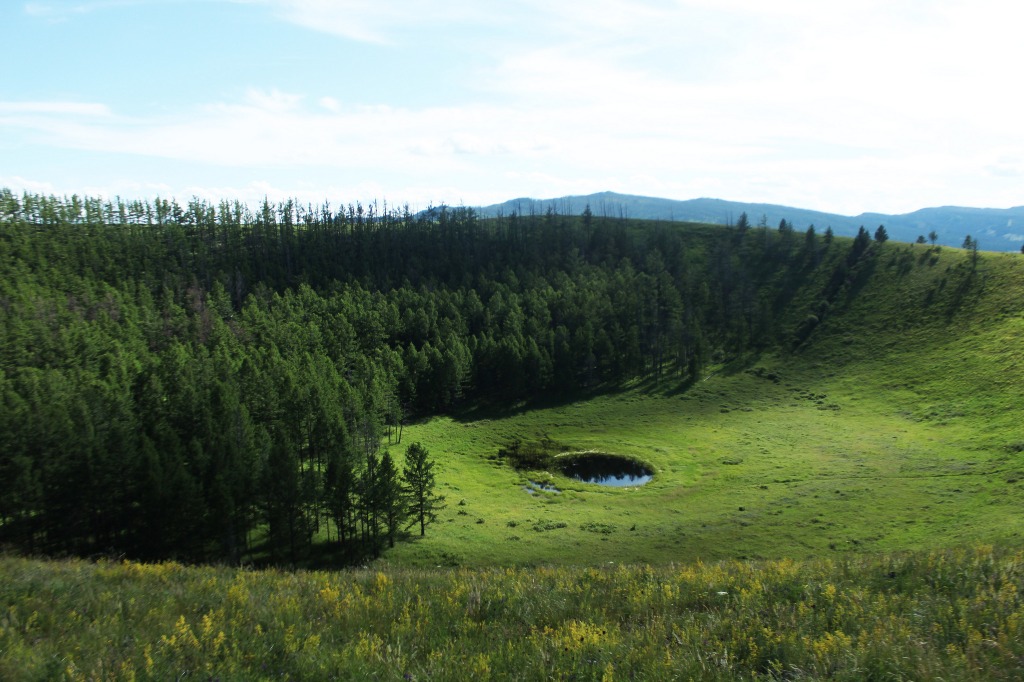
Mongolia encompasses one of Asia's largest freshwater lakes (Khuvsgul Lake), countless salt lakes, wetlands, sand dunes, rolling grasslands, alpine forests, and permanent mountain glaciers.
Northern and western Mongolia experience intense seismic activity, with frequent earthquakes, numerous thermal springs, and extinct volcanoes dotting the landscape.
Mongolia boasts three major mountain ranges. The most massive is the Altai, stretching across the western and southwestern regions along a northwest-to-southeast axis. The Khangai Range follows a similar northwest-to-southeast orientation, occupying much of central and north-central Mongolia. This chain is older, with lower and more weathered peaks, characterized by extensive alpine forests and pastures. The Khentii Range, composed of mountains along the Russian border northeast of Ulaanbaatar, rises even less dramatically.
Much of eastern Mongolia is dominated by vast plains, with the lowest elevations forming a depression extending from the southwest toward the northeast, from the Gobi toward Mongolia's eastern border with China.
Waters flow in three directions: northward to the Arctic Ocean, eastward to the Pacific, or southward into the deserts and depressions of Central Asia. Rivers are more abundant in the north, and the country's principal river system comprises the Selenge and Moron rivers, which drain into Lake Baikal. Several tributaries of Siberia's Yenisei River also originate in Mongolia's northwestern mountains. Northern rivers reach the Pacific via the Argun and Amur rivers, while southern and southwestern waterways never reach the sea, instead flowing into salt lakes or disappearing into the desert.
The Gobi Desert
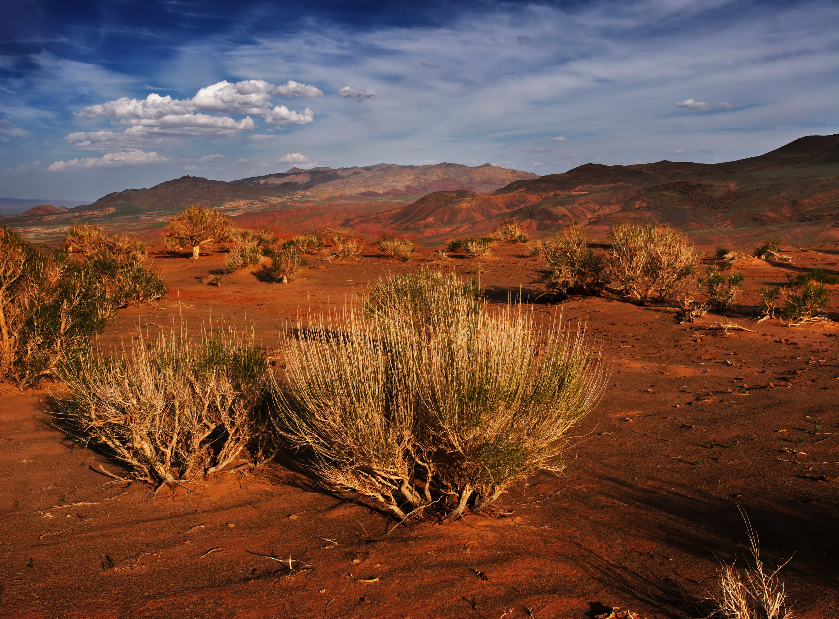
The term "Gobi" is a Mongolian word describing steppe desert, typically referring to an arid expanse with insufficient vegetation to sustain marmots but enough grasses to support camels. Mongolians distinguish the Gobi from true desert, though this distinction isn't always apparent to visitors unfamiliar with Mongolian landscapes. The Gobi ecosystem is delicate and easily destroyed by overgrazing, which leads to the expansion of actual desert—a rocky wasteland where even Bactrian camels cannot survive. The Gobi stretches over 1,600 kilometers from southwest to northeast and 800 kilometers north to south, shared between Mongolia and Russia. It encompasses an arc of 1.3 million square kilometers, making it one of the world's largest deserts.
Contrary to popular desert imagery, much of the Gobi consists not of sand but of rock.