Naiman Nuur National Park
Naiman Nuur National Park
At 2,400 m altitude in the Khangai range, the Eight Lakes of Naiman Nuur reveal themselves on horseback, between larch forests and nomadic encampments.
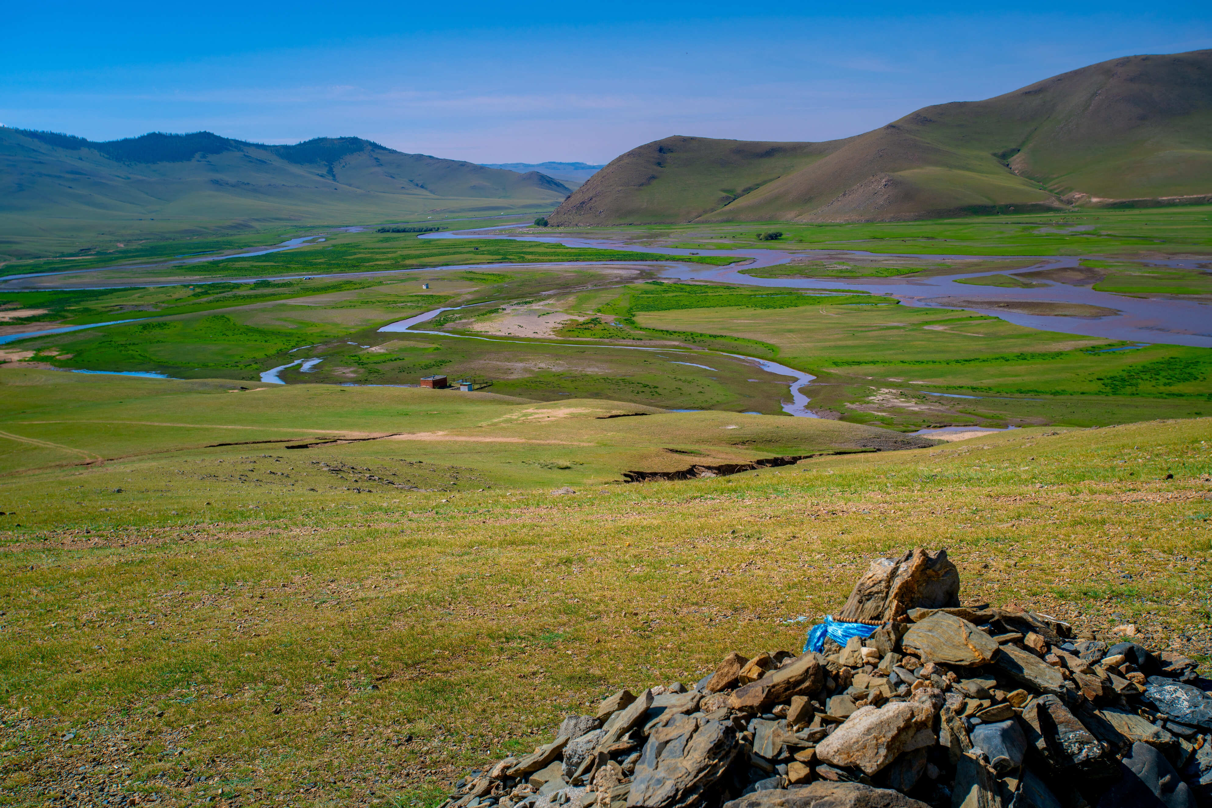
Naiman Nuur National Park is located in Övörkhangai Province, within the Khangai mountain range, and showcases the typical landscapes of Mongolia's high mountains with its vast larch forests.
The Naiman Nuur region, meaning "Eight Lakes," was formed following volcanic eruptions that occurred over the centuries. The park sits at 2,400 meters altitude, and an area of 11,500 hectares was designated a National Park in 1992.
The lakes lie approximately 35 km southwest of the Orkhon Falls, though the track is impassable. This route is therefore accessible only to hikers and horsemen who will enjoy abundant nature along a peaceful forest path, while jeeps must take a longer route around the mountains via Bat Ulzii (130 km), or in heavy rain, via the Khujirt track (260 km).
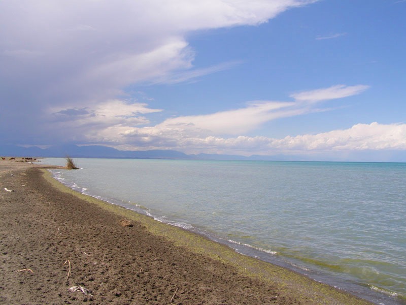
The eight lakes in question are Shireet, the largest and most beautiful in the region, Khaliut, Bugat, Khaya, Khuïs, Shanaa, Doroo and Bayan Uul. Two of the smallest lakes have dried up completely, while the second largest lake by surface area, Khuïs Nuur, is 90% dry.
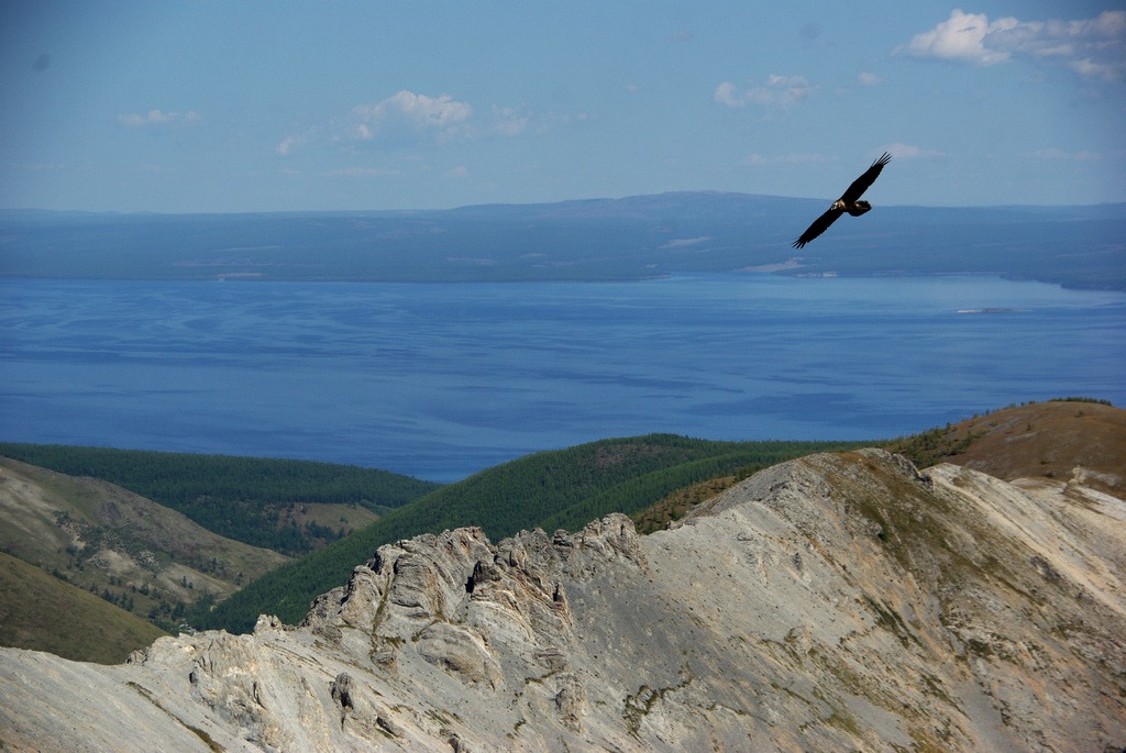
The national park is located in a high mountain zone, featuring alpine sub-grasslands as well as coniferous forests (Siberian pines and Siberian larches). In the northern part of the protected area, you'll find valleys strewn with volcanic rocks. Mountain summits are barren.
The region is very cool, and snowstorms are not uncommon in June or from mid-August onward. At the height of summer, temperatures rarely exceed 20°C during the day. Annual rainfall ranges between 400 and 500 millimeters.
Within the national park, you'll encounter 50 bird species including the Arctic diver, the great cormorant, the bar-headed goose, and the whooper swan.
Want to discover this destination?
Our local advisors design your tailor-made trip.